Visitors traveling by car may access the Park from the parking lot at 6800 Fall Creek Road. Parking is free but limited. Two ADA-accessible parking spaces are available. Those on foot or traveling by bike may enter the park through the parking lot or at the 65th Street entrance. No on-street parking is permitted at either entrance. Park amenities consist of picnic tables and benches stationed at the Fall Creek Road entrance. The Park is open to the public from dawn to dusk.
Visiting the Park
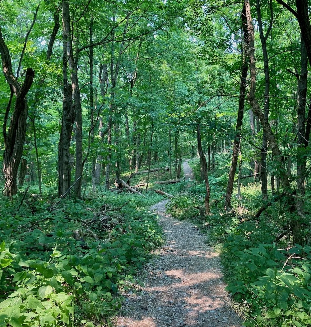
Access to the interior of the park is provided by the Skiles Test Trail, which runs north from the parking lot on Fall Creek Road through the middle of the park to 65th Street, and six natural surface trails. The 0.8-mile Skiles Test Trail is paved and considered easy, but the first 0.2 miles climbs 76 feet before flattening out into a gentle grade.
The six natural surface trails are numbered 1-6 and intersect with the Skiles Test Trail at various points. This foot path system originates in the southeast corner of the park just north of the parking area, where trailheads 1 and 2 are located. Trail numbers increase as you move further north in the park. These trails allow you to explore the perimeter of the park while immersed in tranquility of the forest and the beauty of the prairie.
Trail Map
The AmeriCorps team that created the new trail system collected geospatial data and was prepared to use the data to create a digital map of the new trail system. That piece of the project was upended in early May after the federal government cut funding for AmeriCorps. When an official map is produced, we will share it with you. In the meantime, each trail and its location are described below.
Exploring the Trails
Trail 1 proceeds north along the eastern edge of the park and takes you through forested hills and the eastern edge of the prairie before turning west where it meets up with the Skiles Test Trail. The first half of the trail is moderately steep and rugged. The second half is flat and easy.
Trail 2 runs northwest from the parking lot through the woods until it connects with the Skiles Test Trail. The trail is moderately steep as it ascends to top of a ridge before flattening out.
Trail 3 can be accessed from the midpoint on trail 2, where it travels southwest, crosses the Skiles Test Trail and then sweeps up the westside of the park before turning east to connect once again with the Skiles Test Trail. Trail 3 crosses several ravines with moderately steep inclines and declines before flattening out.
Trails 4 and 5 are smaller trails that connect park users to trails 1 and 3 at various points along the Skiles Test Trail.
Trail 6 is a mostly flat loop trail on the north end of the park. It also connects to trail 3 via a small spur that crosses a little stream.
Fall Creek Greenway Trailhead
Skiles Test Nature Park also serves as a trailhead to the Fall Creek Greenway, a 13.2-mile, multi-use paved trail that stretches from Indiana Avenue to the border of Fort Harrison State Park. The 1,744-acre State Park is located about 0.5 miles from the nature park via the Greenway Trail. The Greenway can be accessed from the Skiles Test parking lot via the Fall Creek Road crossing.
Frequently Asked Questions
Is Skiles Test Nature Park managed by Indy Parks and Recreation?
Skiles Test Nature Park is a natural resource area in the Indy Parks system and is managed by Indy Parks and Recreation and the Indianapolis Office of Land Stewardship. The Land Stewardship Office focuses on the recovery of land that has been degraded, damaged or destroyed. It actively manages more than 2,000 acres of natural park land, helping to protect and restore critical wildlife habitat and expand the ecological benefits these lands provide.
Are bikes allowed in Skiles Test Nature Park?
Bike use in Skiles Test Nature Park is limited to the multi-use, hard-surface Skiles Test Trail that runs north from the parking lot to 65th Street. Cyclists traveling south across Fall Creek Road can access the 13.2-mile Fall Creek Greenway that connects northeast Marion County to downtown Indy and provides easy access to Fort Harrison State Park. The speed limit on the Skiles Test Trail and the Greenway is 20 mph. Bikers are expected to communicate before passing and yield to all other trail users.
Is Skiles Test Nature Park pet friendly?
All park trails are open to people on foot and pets on a short leash. Adherence to leash laws keep the park safe for people, pets and wildlife. Pets need to be kept under control when other trail users are passing. Pet owners are responsible for packing out all trash and pet waste. Do not leave waste bags by the side of the trail. It causes harm to the park’s ecosystem.
What activities are prohibited in Skiles Test Nature Park?
Smoking or vaping.
Use of alcohol or controlled substances.
Littering and improper disposal of trash or pet waste.
Off-leash pets.
Fires, camping, fireworks, hunting, and fishing.
Speeds greater than 20 mph.
Horseback riding.
How can you help preserve the Nature Park?
Do not disturb or feed wildlife or damage vegetation.
Bike only on hard-surface trails.
Leave what you find for others to enjoy.
Respect all trail infrastructure and natural resources.
Be considerate of all trail users.
What do I do if I experience an emergency or safety concern at Skiles Test Nature Park?
Call 911 for an active emergency situation, e.g. crime in progress, gunshots/weapons brandished, active fire, lost child. Report non-emergency safety concerns to IMPD at (317) 327-3811. Report non-emergency maintenance issues related to park grounds to the Mayor’s Action Center at (317) 327-4622 or submit to Request Indy.